Mid-70s heat sets stage for Tri-State Election Day before sharp cold snap
Cincinnati area faces a 15-degree temperature spike Tuesday followed by a drop to the 50s by Friday.
By Naomi Tesfaye ·
Highs will reach the mid-70s in the Tri-State region Tuesday, running 15 degrees above average. This unseasonable warmth arrives on Election Day before a sharp cooldown takes hold. The temperature spike follows a milder start to November that has kept regional forecasts above seasonal norms.
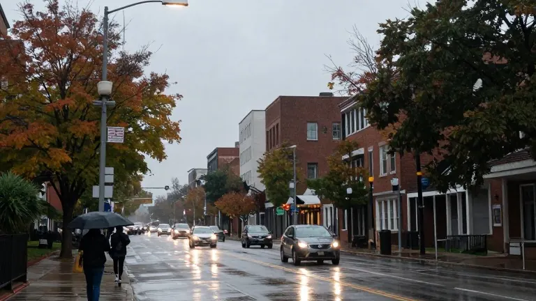
Conditions remain unsettled through the end of the week. Rain chances increase late Sunday night and persist through Monday morning. Scattered showers may disrupt the Monday commute. Cloud cover limits Monday highs to the mid-60s. Sunshine returns Tuesday with partly cloudy skies and breezy conditions.
The weather pattern turns volatile Wednesday and Thursday. First Alert Weather Days are in effect for both days. Rounds of off-and-on showers and thunderstorms arrive by mid-morning Wednesday. Localized downpours are possible through Thursday. A strong cold front sweeps through Friday, dropping temperatures into the 50s. Breezy and showery conditions will accompany the front.
Drier air and sunshine return for the weekend. The region will see noticeably cooler highs as a late-fall chill sets in. The shift marks the end of the current warm spell. Meteorologists expect the cold front to fully establish lower temperatures by the weekend.
More Business · Business Watchdog · Report a business · Got a Story?