Vermont residents face a warming trend before Monday's chill
Temperatures will climb to the mid-60s in southern areas by Friday, a sharp rise from the 30s expected Thursday morning.
By Adrian Kovalenko ·
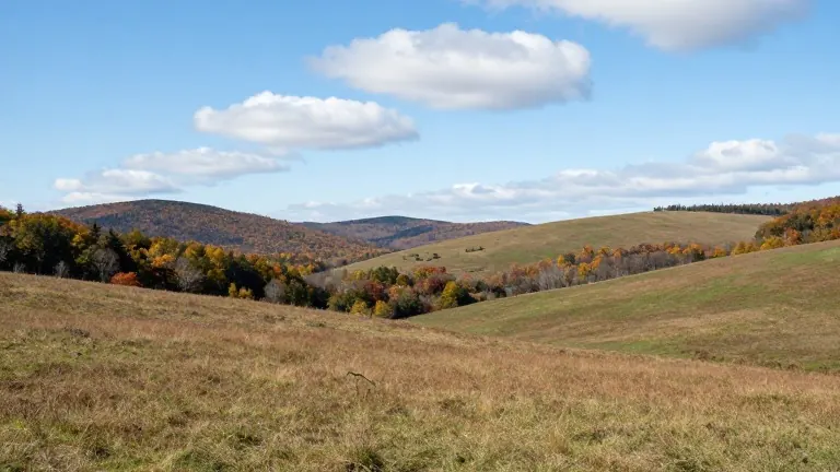
Burlington forecasters predict a sustained period of mild weather that will push regional temperatures well above seasonal norms before a cold front arrives next week.
Peter Kvietkauskas of WCAX-TV detailed the warming pattern in a Wednesday broadcast. The week begins with partial cloud cover but ample sunlight. Highs will reach the mid and upper 50s Fahrenheit, with some locations approaching 60 degrees. Nighttime conditions will cool rapidly, dropping to the 30s by early Thursday morning.
Thursday will mirror the previous day, featuring partly cloudy skies and similar daytime highs. The peak warmth is scheduled for Friday. Mostly sunny conditions are expected to drive temperatures into the upper 50s. Areas south of Burlington may see lows and mid 60s, marking the hottest point of the week.
The weekend offers stable conditions. Saturday will bring mostly sunny skies with highs in the upper 50s and low to mid 60s. Sunday will be slightly cooler. While the day starts dry, increasing cloud cover will precede potential showers late Sunday evening and into the night.
Weather will deteriorate sharply on Monday. A few showers may mix with mountain snow showers as temperatures fall to the 40s and lower 50s. Some flurries could persist into Tuesday, particularly in mountainous regions, alternating with periods of sunshine.