MetroWest Receives Light Snow Mix Amid Chilly Wind
Gusts reach 35 mph along the coast while a low pressure system brings cold rain and occasional flakes to the region.
By Adrian Kovalenko ·
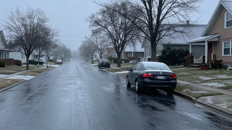
A low pressure system situated to the south has drawn cold air into the region, creating a raw and chilly atmosphere this morning. The weather pattern has generated precipitation that primarily falls as cold rain, though wet snow has mixed in during the early hours. The transition from rain to snow began in the higher terrain, where spotty coatings of up to one inch settled on non-paved surfaces.
Snowflakes have since reached parts of MetroWest, adding to the mix in lower elevations. Despite the visual change, accumulation on the ground remains minimal. The soil and pavement stay warm enough to prevent snow from sticking, keeping temperatures above freezing. Roads remain wet rather than slick, a condition that persists through the morning commute.
Wind speeds have increased, with gusts ranging from 25 to 35 mph. The strongest breezes have been recorded along the coastline, particularly across the Cape and Islands. These winds contribute to the raw feel of the air and may make travel feel colder than the actual temperature suggests. The breeze is expected to subside as the day progresses.
Rain and wet snow showers will taper off by this afternoon, improving conditions for the evening commute. The evening travel window appears much drier than the morning hours. Looking ahead, the weekend will remain chilly but mostly dry. Saturday features continued cloud cover with a high in the mid 40s and a chance of brief afternoon showers. Sunday will be slightly milder and brighter, with highs reaching the upper 40s.
Temperatures are set to rise next week. The trend points toward warmer conditions and increased sunshine. By Wednesday, highs are expected to max out near 60 degrees.